ALTINATE
From important Roman centre to the foundation of Venic
HISTORY
Colonised by the Romans in the 1st century b.C. – who through the centuriation (where lands where not swampy) created some important roads, including Annia (which reached Aquileia), Postumia and Claudia Augusta – this area has played an extraordinarily important role. The main centres, located on the above-mentioned roads, were Altino and Concordia. However, since the 2nd century, they experienced a slow deterioration – even though they did become episcopal sites – and suffered due to the risk of swamp formations.
Ravaged from 452 to the 7th century by repeated Barbaric invasions (starting from the Huns led by Attila), these lands lost their inhabitants who, similarly to those in Aquileia, Oderzo or Asolo, took shelter on the islands of the lagoon such as Torcello, then going on to establish Venice which centuries later would become the capital of this beautiful countryside, up until the arrival of Napoleon, the Hapsburg dynasty and, lastly, the Kingdom of Italy.
ENVIRONMENT
The land of Altinate is characterised by the presence of two areas of great environmental importance: the Regional Natural Park of the river Sile and the Venetian Lagoon.
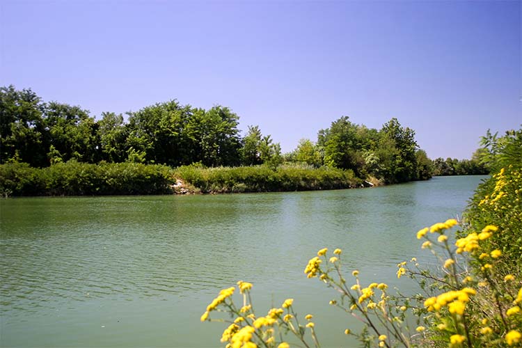
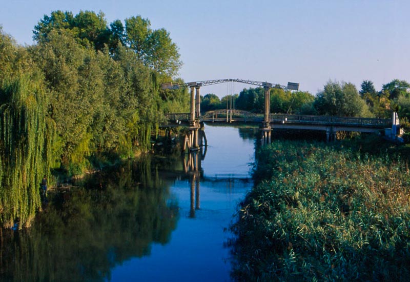
The Regional Natural Park of the river Sile covers a surface of 4,152 hectares; it comprises 11 municipalities in the provinces of Padua, Treviso and Venice. The area of the river sources is located between Casacorba of Vedelago (Treviso) and Torreselle di Piombino Dese (Padua); this is also where the source of the longest resurgent river in Italy is located, approximately 70km from Casacorba di Vedelago (Treviso) to Portegrandi di Quarto d’Altino (Venice), the natural mouth of the Venetian Lagoon before the “Taglio del Sile” was excavated. Since ancient times, the mild climate of the area, the navigability of the waters, the proximity of the sea, the copiousness of the resurgent rivers and the wealth of the surrounding woodland have attracted populations to the river Sile, who subsequently started building along its banks.
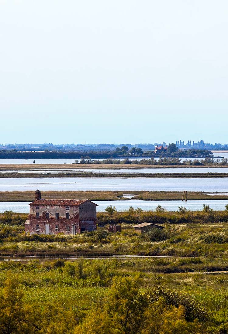
The Venetian Lagoon skims the coasts of the Cavallino Treporti peninsula to the North. A natural environment of rare and incomparable beauty, the lagoon has kept its natural features intact. For centuries, this enchanting coastline has seen a land transform constantly over time. It welcomed the ships of the traders who once went to the fruit and vegetable market of Rialto to sell their products; it saw the ancient farm houses and wooden stilt houses (also known as the “casoni di valle”) be built on its banks; and it bore witness to the construction of fortresses, batteries, telemetric towers, barracks and bunkers, built to protect Venice during the Great War.
The gentle sound of the water while the boat glides along its canal, the gentle rustling of the leafy branches of the trees, the fluttering of wings and the tweeting of the little egrets, the sound of the fish darting dauntlessly out of the water, the silent, gentle and regular flight of the seagulls, the presence of the cormorants and herons intent on hunting and the elegant black-winged stilt, make this area unique and surprising.
GET TO KNOW THE LAND
Starting from the archaeological site of Altino, you can explore the green lands of Quarto and Marcon and then proceed to the Sile and Piave towards Meolo, Musile, Fossalta and Noventa; from here, by crossing the cultivated fields, we reach Ceggia then reach San Donà di Piave; then, we go down to the sea and to the town of Eraclea and continue to Jesolo and its beach; from here, cross the sandy peninsula of Cavallino-Treporti until reaching Punta Sabbioni in a splendid Venetian lagoon-type environment. A land suspended between the lagoon and the Adriatic, but which lives between rivers: one is calmer, the Sile, which descends through green spaces, the other, the Piave, can be more impetuous as it descends from the mountains and alternates phases of drought and torrential rain.
The final part of the bed of the Piave was redirected towards the North at the end of the 1600s, making the river reach the sea near Jesolo, while in its old seabed was redirected to the more placid Sile. All the operations that transformed the territory influenced the development of the towns and favoured the creation of the great beaches and seaside resorts, which today welcome thousands of tourists. Made fertile by the reclamations and other hydraulic operations, this area was once covered by forests and was one of the main theatres of the Great War when the Piave became the symbol of the resistance and the Italian comeback.
Cavallino Treporti
Ceggia
Eraclea
Fossalta di Piave
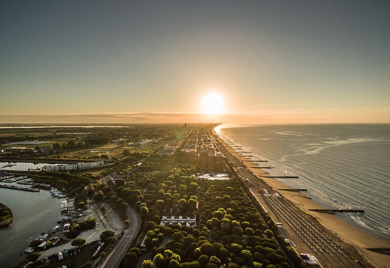
Jesolo
Lio Piccolo
Marcon
Meolo
Musile di Piave
Noventa di Piave
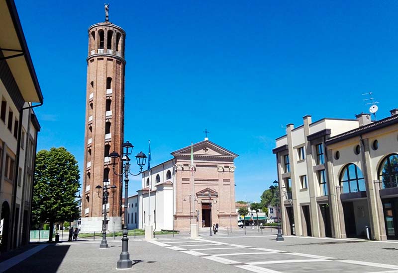
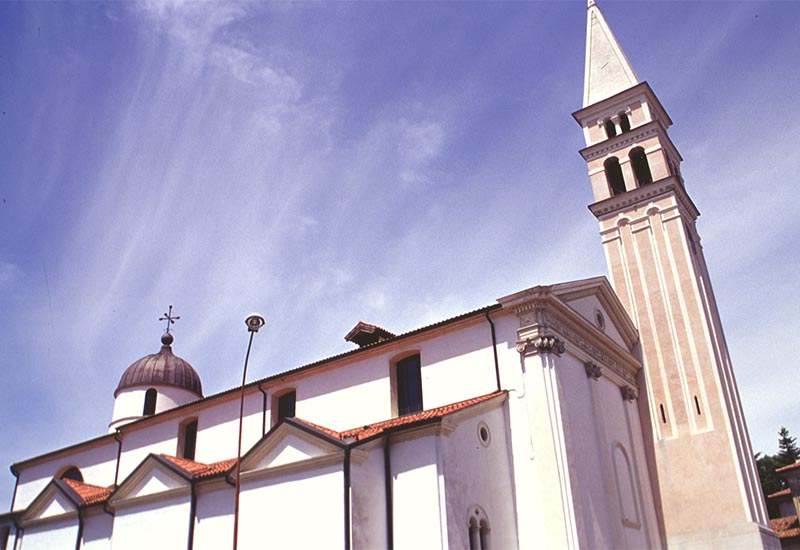
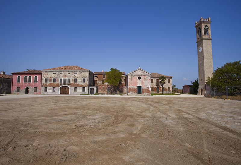
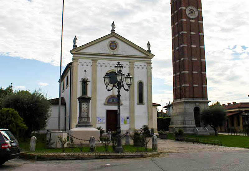
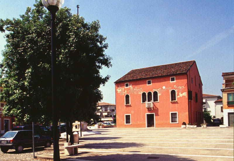
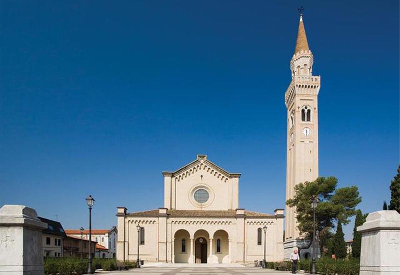
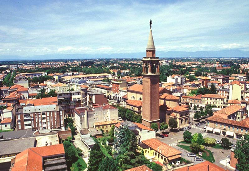
Quarto d’Altino
San Donà di Piave